Philippines: Boracay Island and two of the Romblon Island group (Tablas Island and Romblon Island)
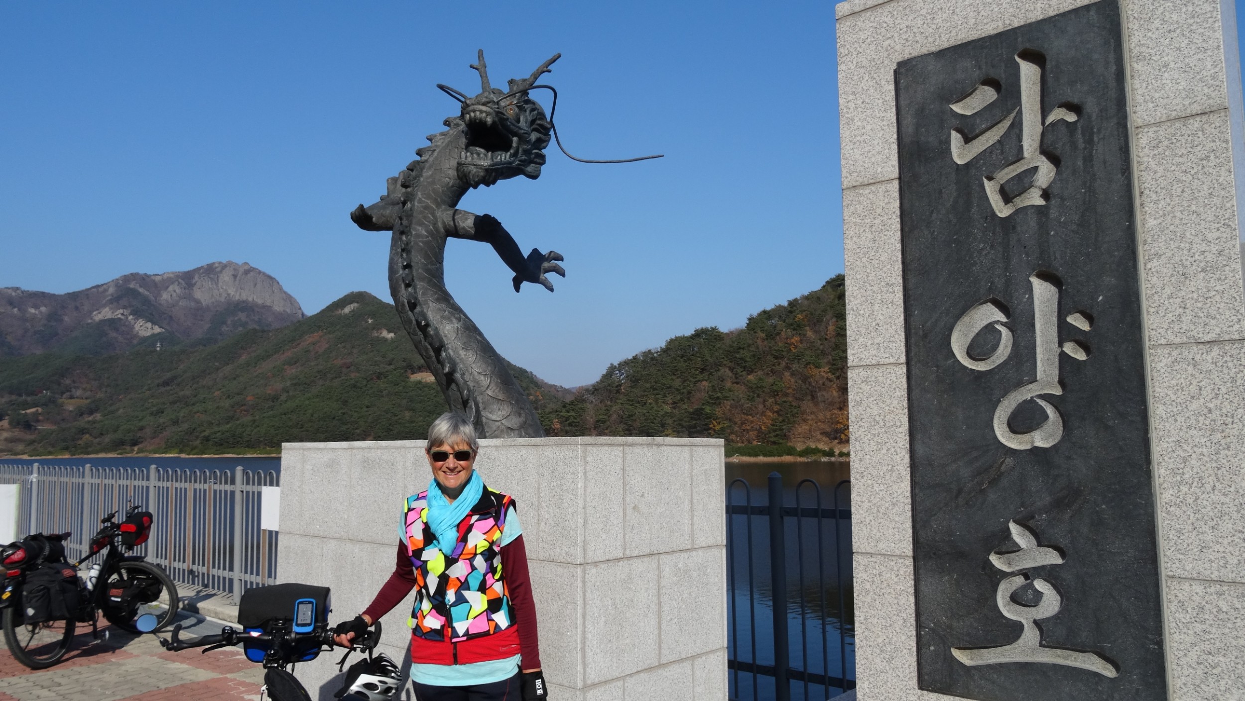
Louise George
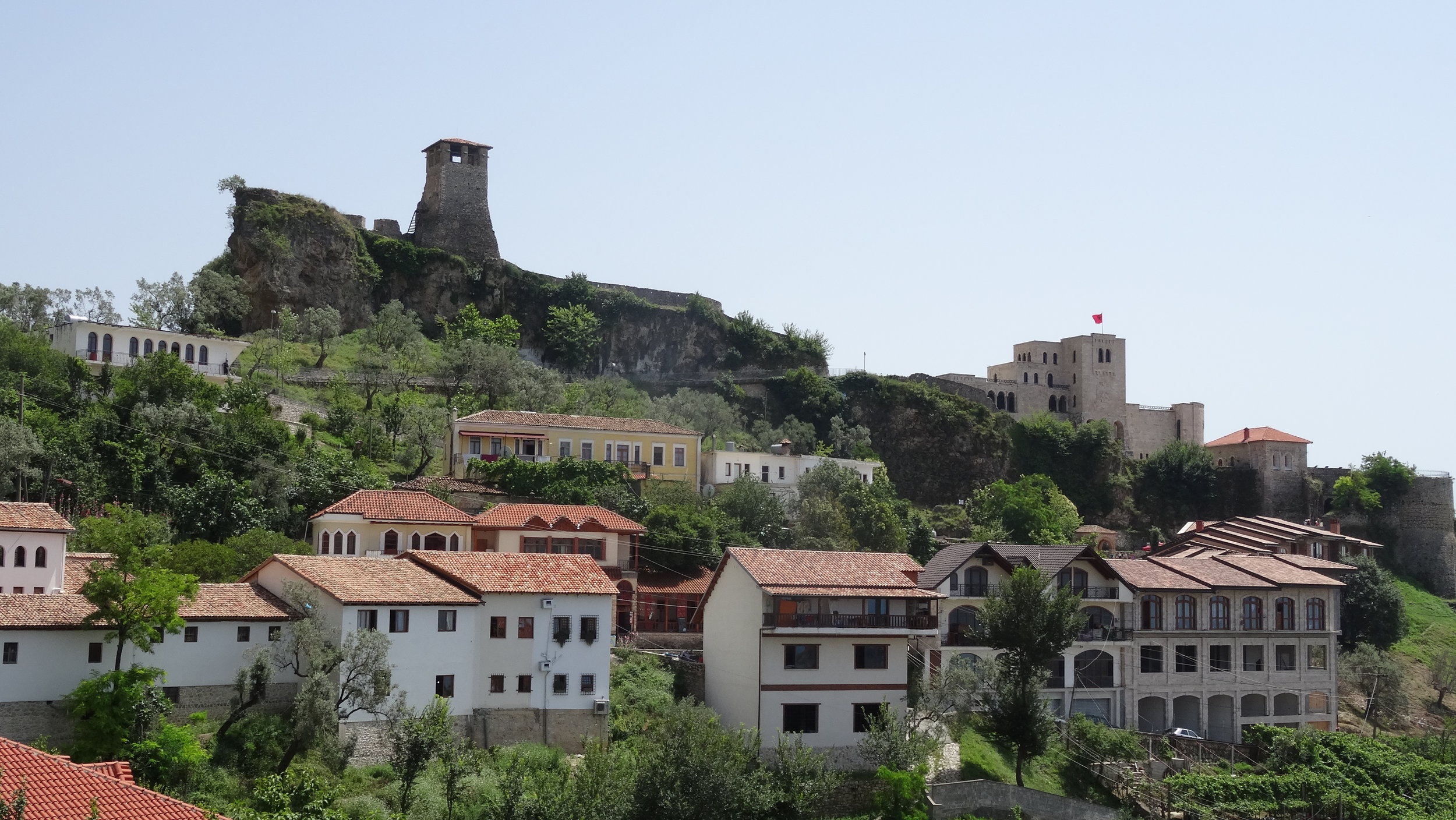
Boracay Island
We had been told we might need a permit to take bicycles to Boracay as there are vehicle restrictions but we didn’t find that the case.
Our initial reaction to Boracay was shock! Apart from that it was a popular tourist destination, we knew little about it. The road was rough, dug up in places and congested with motor tricycles and electric passenger vehicles vying for customers. We found our accommodation after dodging open drains and a huge stagnant pond. Later, when we walked out looking for food, we first checked out Bulabong Beach nearest to our accommodation, only to be blasted by on-shore winds that were obviously favoured by kite surfers, because there were many, speeding from one end of the lagoon to the other. We were at the narrowest width of the island, so one kilometre later we had crossed to White Sand Beach, along with thousands of mostly Asian tourists, who like us, were out to marvel at the sunset.

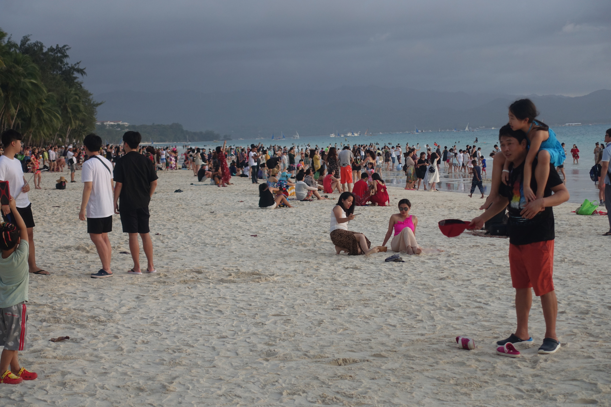
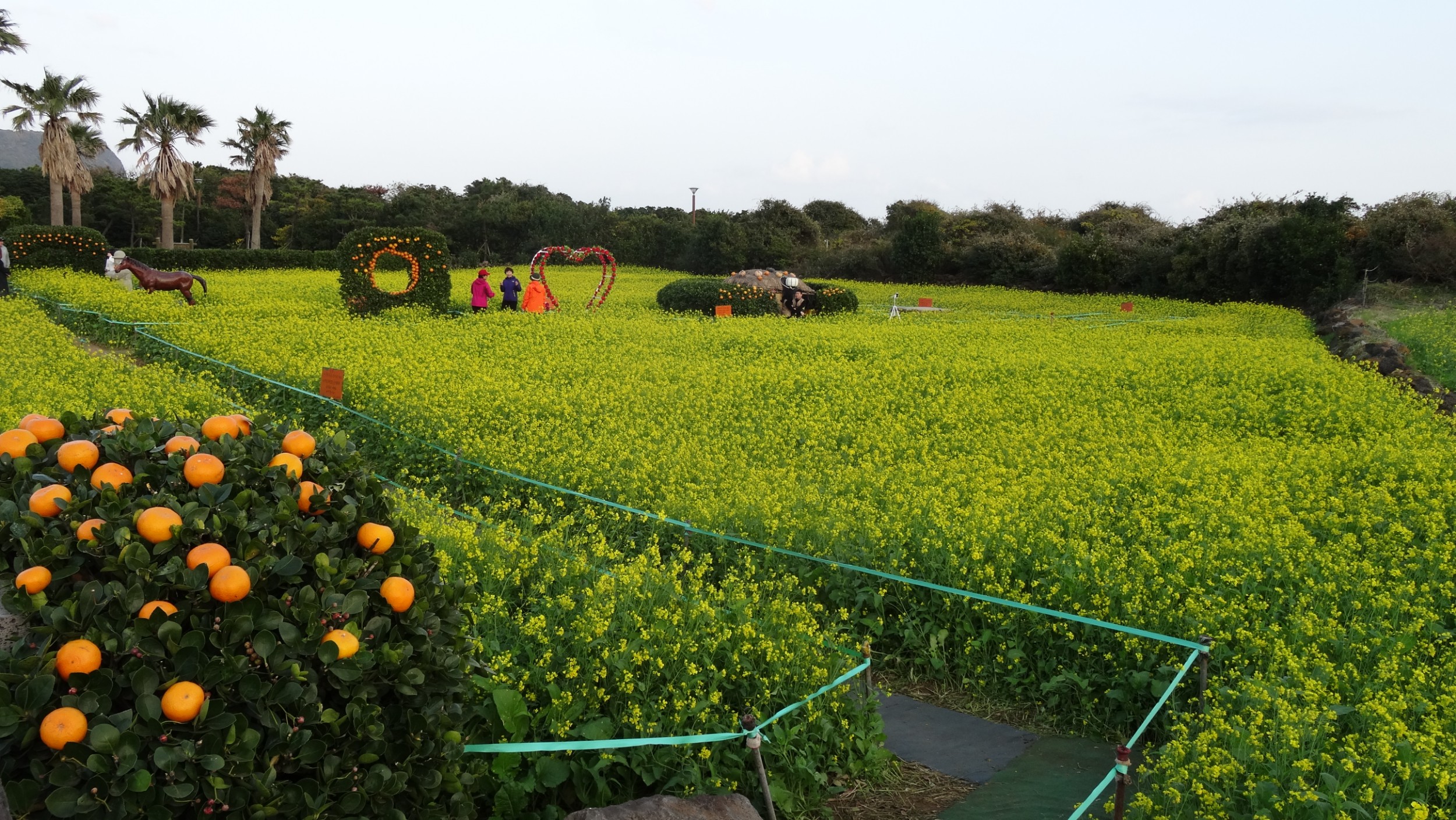
Boracay had been spoiled by tourism. As a paradise discovered in the 60’s, Boracay had in recent years became wall to wall resorts, dive shops and restaurants all wanting beach frontage, visited by tourists wanting to participate in water sports during the day and beach parties at night. Two million tourists visited Boracay in 2017 and the island could no longer cope. Environmental issues such as algae bloom on the beaches and poor sewerage conditions forced the government to completely shut down the island to tourism for six months from April 2018. Now, January 2019, the island had only recently been reopened and we were witness to the continuing redevelopment program. Tourist numbers were now being limited to 6000 incoming people per day and proof of accommodation needed to be provided. Many accommodations had not reopened as they were not yet compliant with new sewage regulations. Roads, kerbs and pavements continued to be built around the tourist throng.

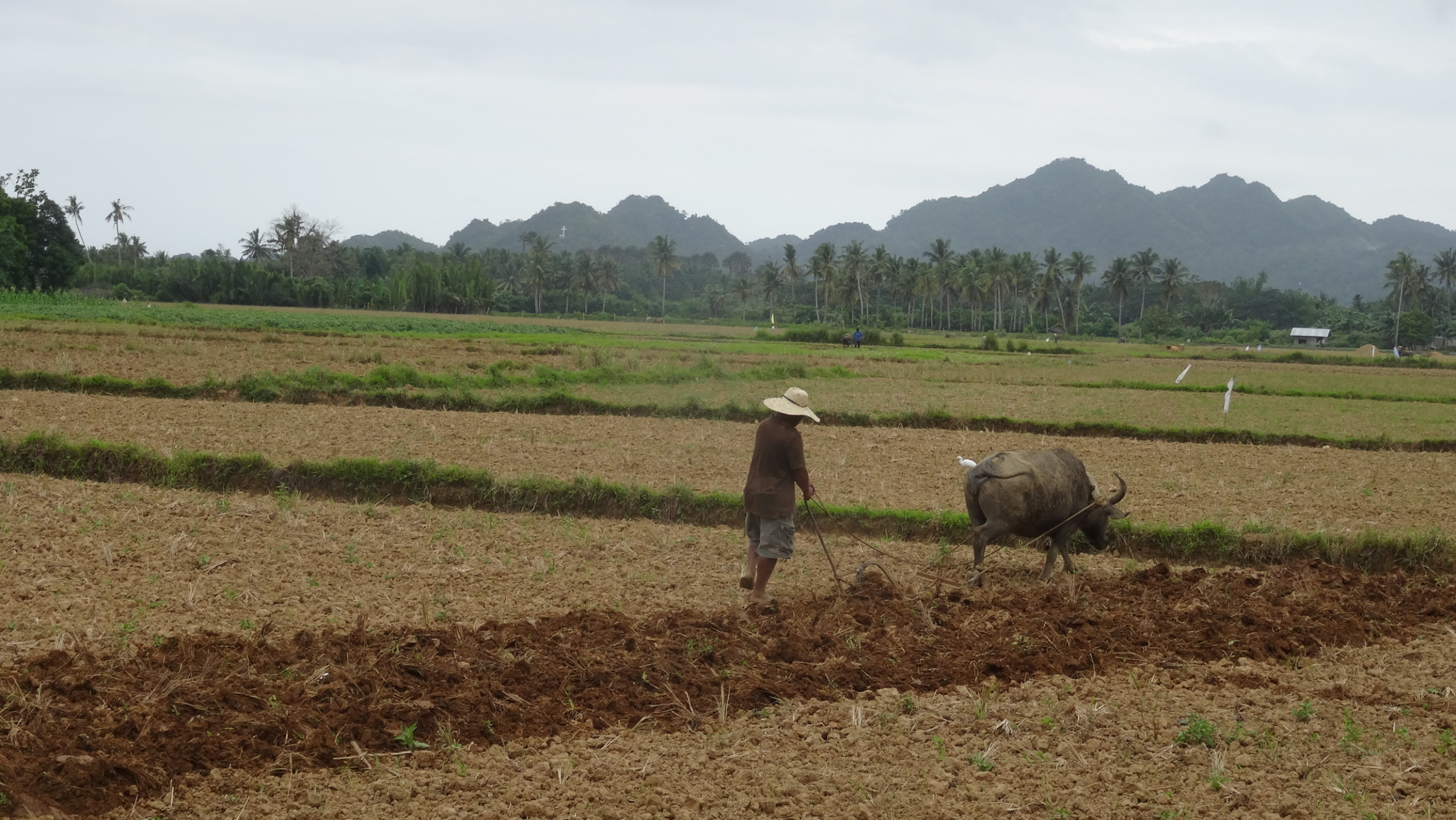
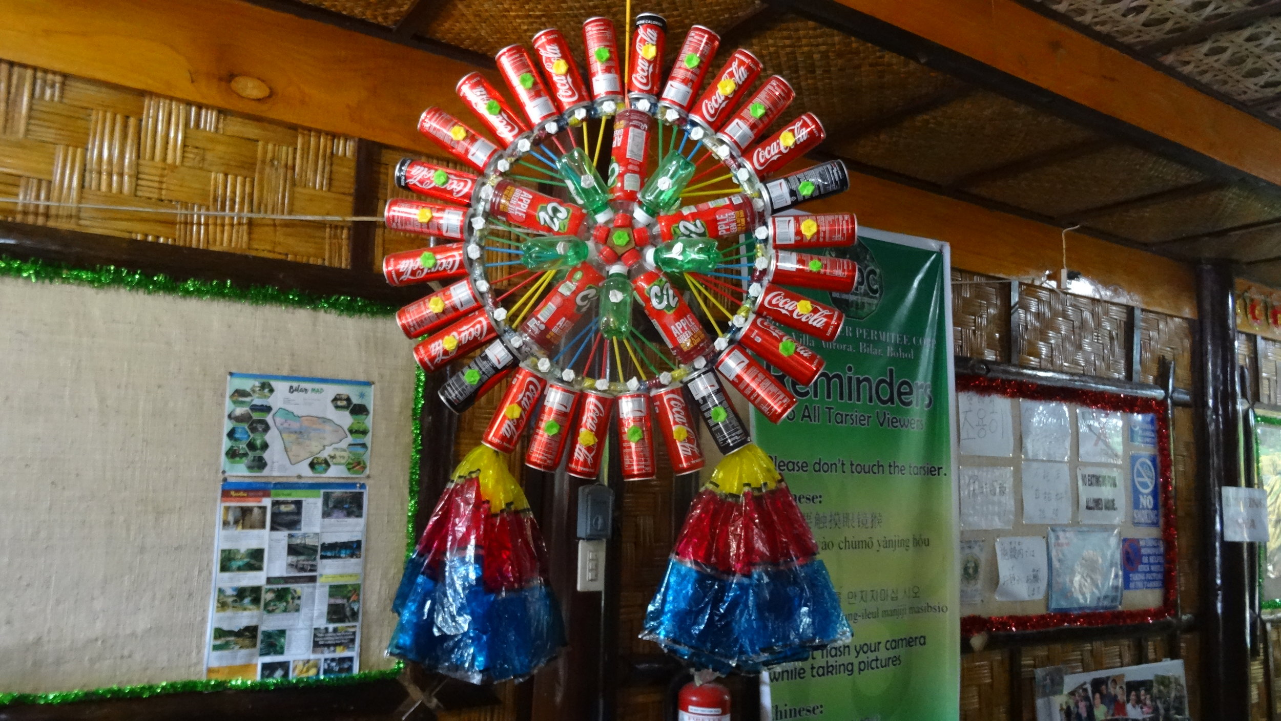
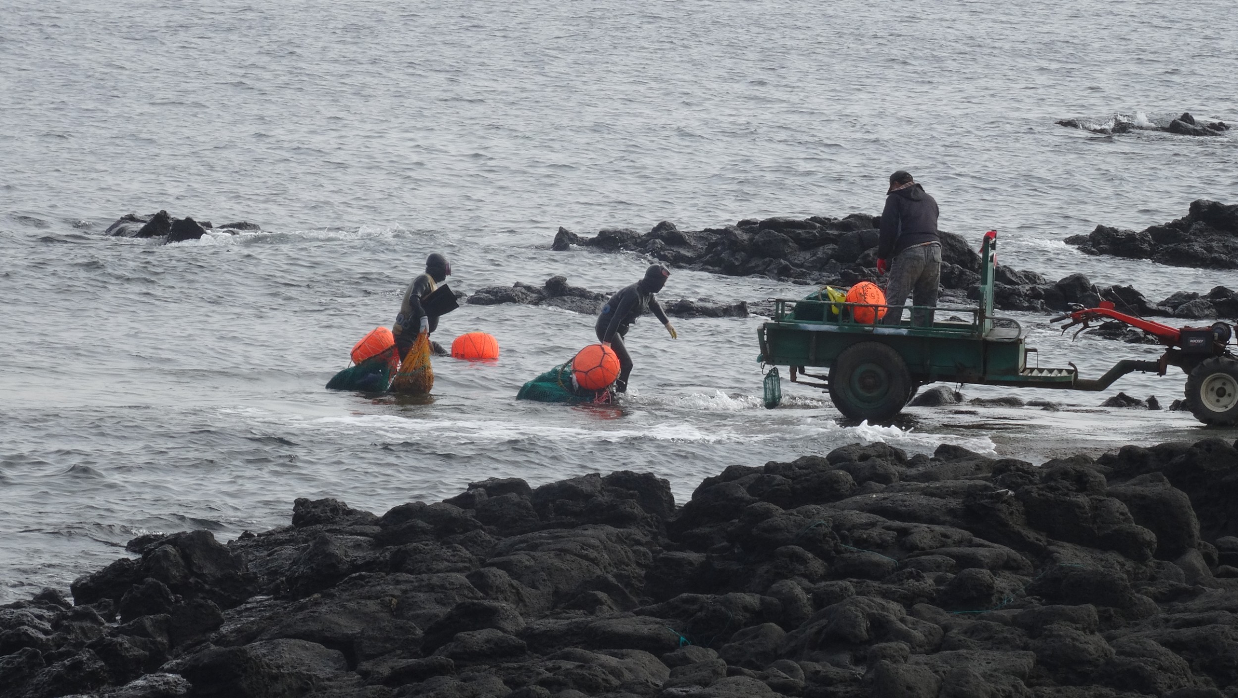
A local catch!
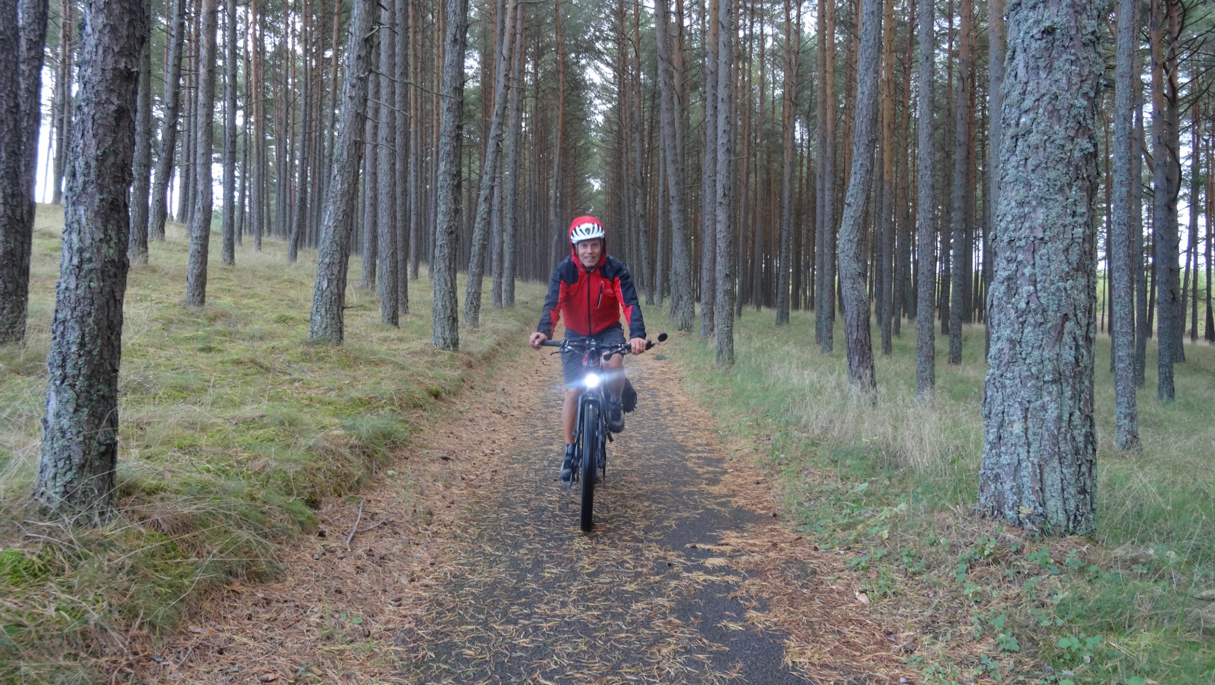
Boracay 15km, 202m ascent
With three days to relax before we rode again, we treated this tropical destination as a holiday. Days were filled with walks to the beach and seeking out restaurants with food flavours we enjoy.

Our favourite treat; fresh jel-like coconut flesh, scrapped off the shell, topped with mango, coconut ice-cream and black sesame seeds. We queued for one hour to get one on our last day!
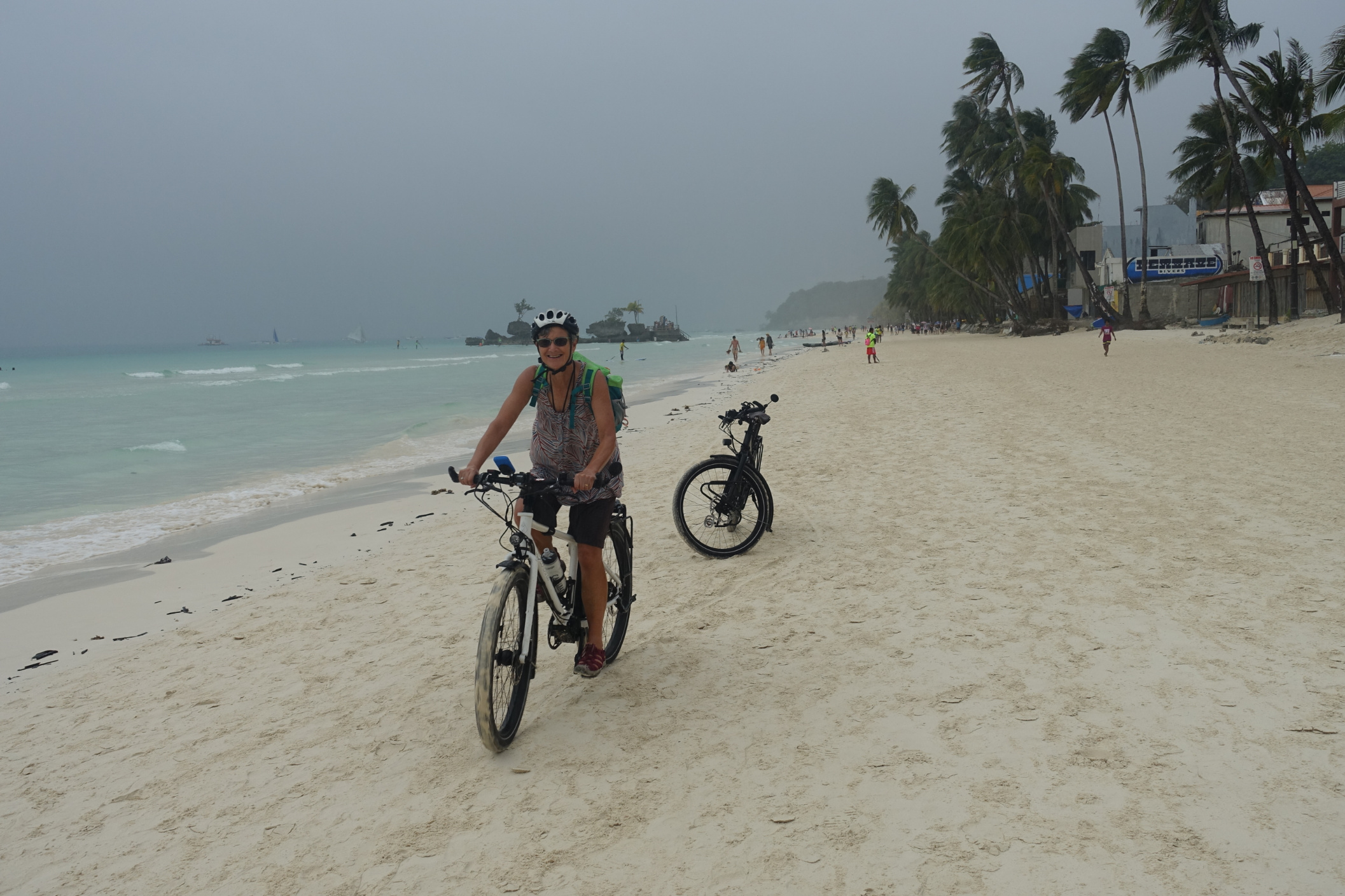
The island is 7 kilometres long and offers every type of water activity imaginable: jet ski, sailing, paddle boarding, diving, mermaid lessons, helmet dive and parasailing to name a few so there was always people watching for our entertainment. On the second day we ventured out on the bikes to Diniwid Beach that we could access by ocean path from White Beach, and then rode to Puka Beach in the north. Many buildings in the north were uninhabited, and from signage we got the impression that some ancestral lands were now handed back to be in the possession of the Ati local tribes. Returning to our accommodation was disrupted by a traffic jam as the concrete kerb on one side of the road was being poured. We ducked down to the beach to ride our own highway!

Having watched the Kite surfers with envy and marveling at the strength they must need to rein the wind, we decided to ‘give it a go’. Our lesson was about controlling the kite, at first with a small kite on the sand and later knee deep in water with a full kite. We learned that a relaxed technique, rather than strength got the kite into the desired position and in a couple of hours got enough of a buzz to think about a future time back here to master the sport. I can’t believe that on our last evening at Boracay we were prepared to queue for an hour for a dessert treat that we had already had a serving of two days ago and I didn’t want to leave without satisfying the cravings for another one. Half a green coconut with the jelly flesh scrapped away from the husk, that now served as the bowl, topped with coconut Icecream, fresh mango and a sprinkling of nuts. Devine!
Boracay Island to near Alicantara (Tablas Island) 39km, 403m ascent
We were on the bikes before daybreak as we needed to be at Caticlan by 6 a.m. to change our ferry booking from 27th to today, 26th. We found that the Pump Boat would take bicycles so they were duly loaded on the roof of the boat cabin, and we sat inside with our panniers for the ten minute ride.
Tablas Island
Day 1:
For a small fee our tickets to Tablas Island were reissued. The ferry wasn’t in port yet, and it didn’t sail until 8 a.m. so we had plenty of time for breakfast. I had rice, egg and bangas (small portion of fish, deep fried to a crisp), Nev ate pork pieces basted with a sweet sauce, egg and rice.
Wheeling our bikes, we were ushered to be first to board the ferry. The vehicle deck gaped open, and I said to Nev “thank goodness this will be easy” but no! Rather than push our bikes to the vehicle desk we had to enter the vessel through the side passenger door, wheeling the bikes, and then carried them, in relays, up two flights of stairs so they could stand in a corner of the ‘bunk room’. This was deck class. We found a spare bunk each, as centre of the ship as possible amongst rows of bunks, bottom and top, separated by aisles, in an area as large as a basketball court. Along the outside edge of the ship, most tarpaulins were down and taut, blocking out both view and wind. It was nice to walk to the edge railing occasionally, where some tarpaulins were raised, to see islands as we passed. We copied other passengers, making a pillow of the life jacket and settled back for hours of relaxation, to read and snooze. Disembarking was again in relay, but going down stairs was a little easier.
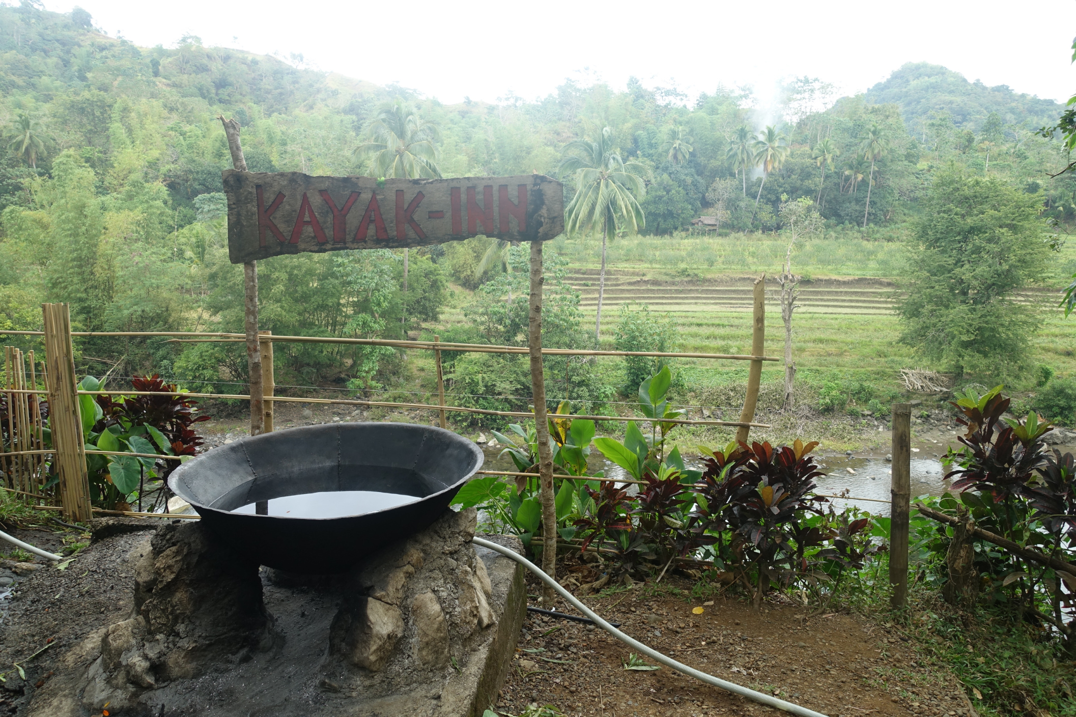
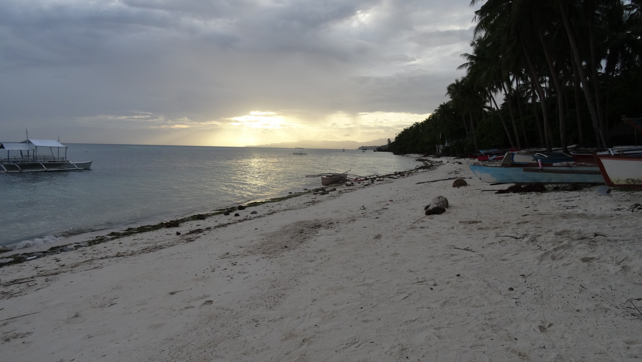
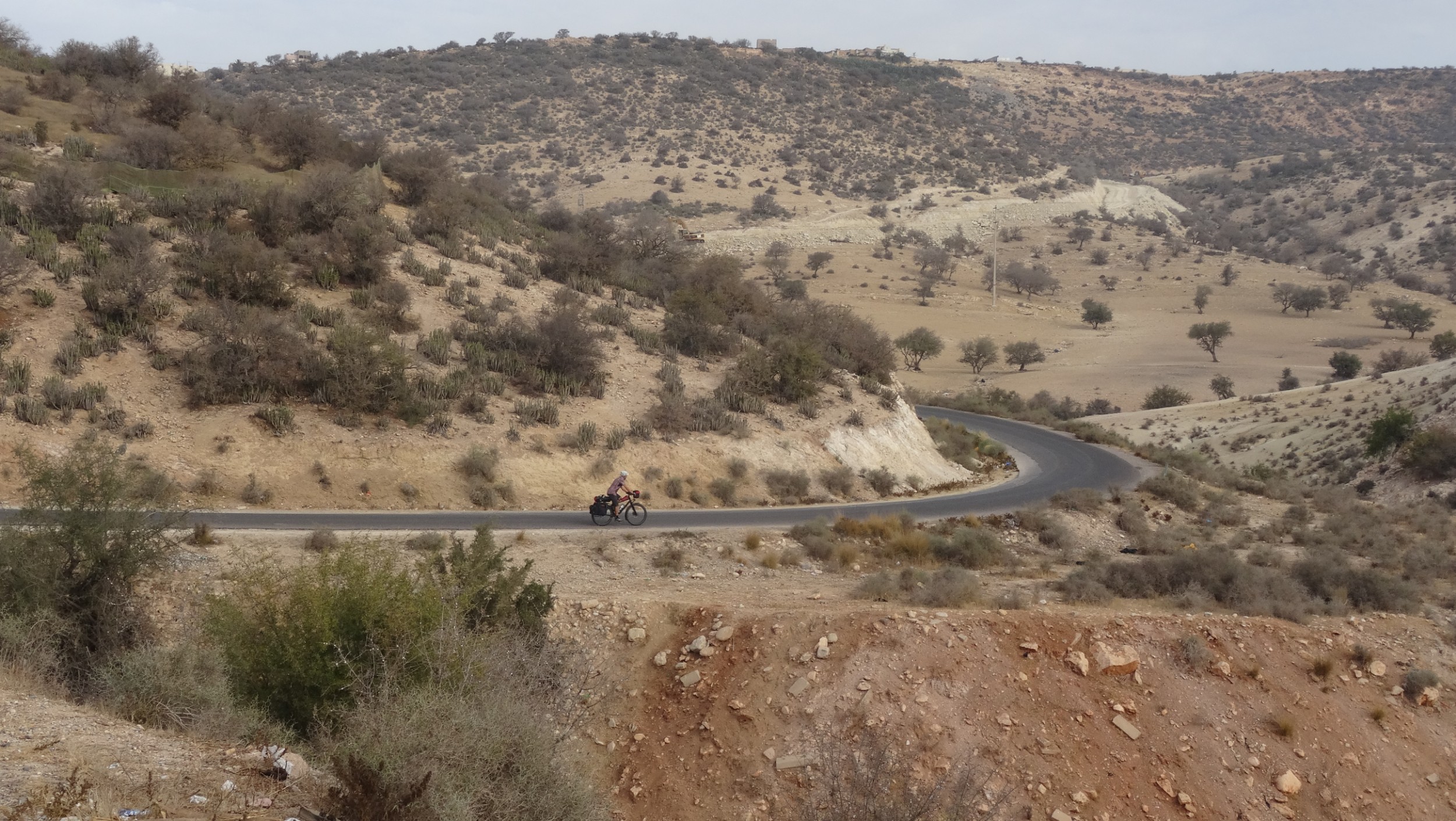
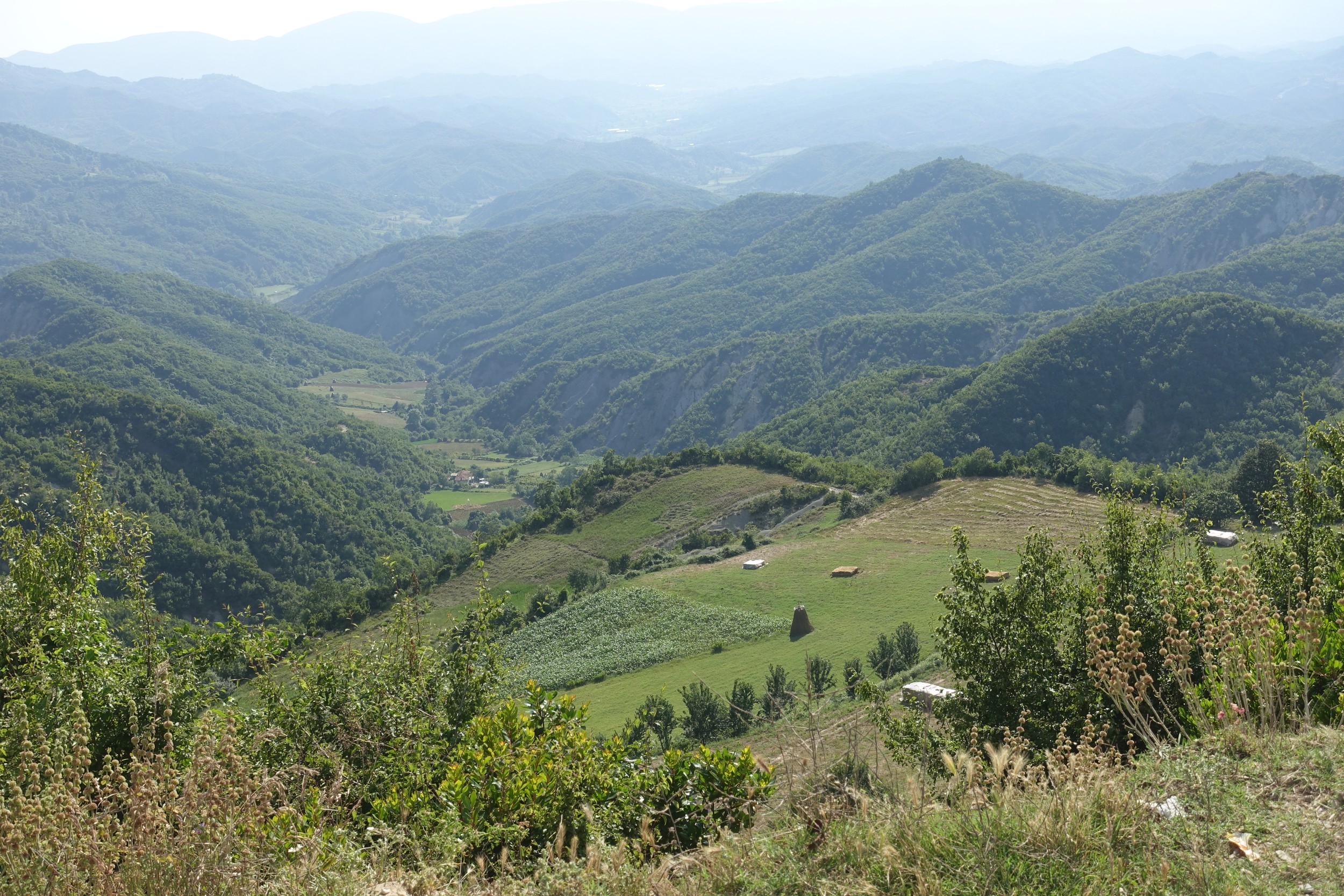
Our first stop was for lunch at Odiongan, a few kilometres from the port of the same name. Odiongan is a small town similar to the many we have ridden through on other islands that offered little in the way of food choices for our tastes. Eventually we found a cafe that sold us a burger as small as a dinner bun and a milkshake, that we hoped would sustain us the 23 kilometres to Aglicay Beach Resort. Because Nev was still suffering from a headcold, and the day was hot with the air temperature in the 30s, we elected to take a shorter route that went across the island rather than travel 42 kilometres along the coast. There were a couple of hills but generally pleasant riding beside former rice fields that were now meadows where cows grazed. From where we left the main road we had an interesting 5.8 kilometre track that alternated between concrete and dirt, with a couple of steep climbs, and then a lovely descent to the white sand beach at the resort, that for tonight we had to ourselves. We were the only guests. Evidently due to prevailing winds, the west coast is not so popular at this time of the year.
Day 2: Aglicay Resort - no riding
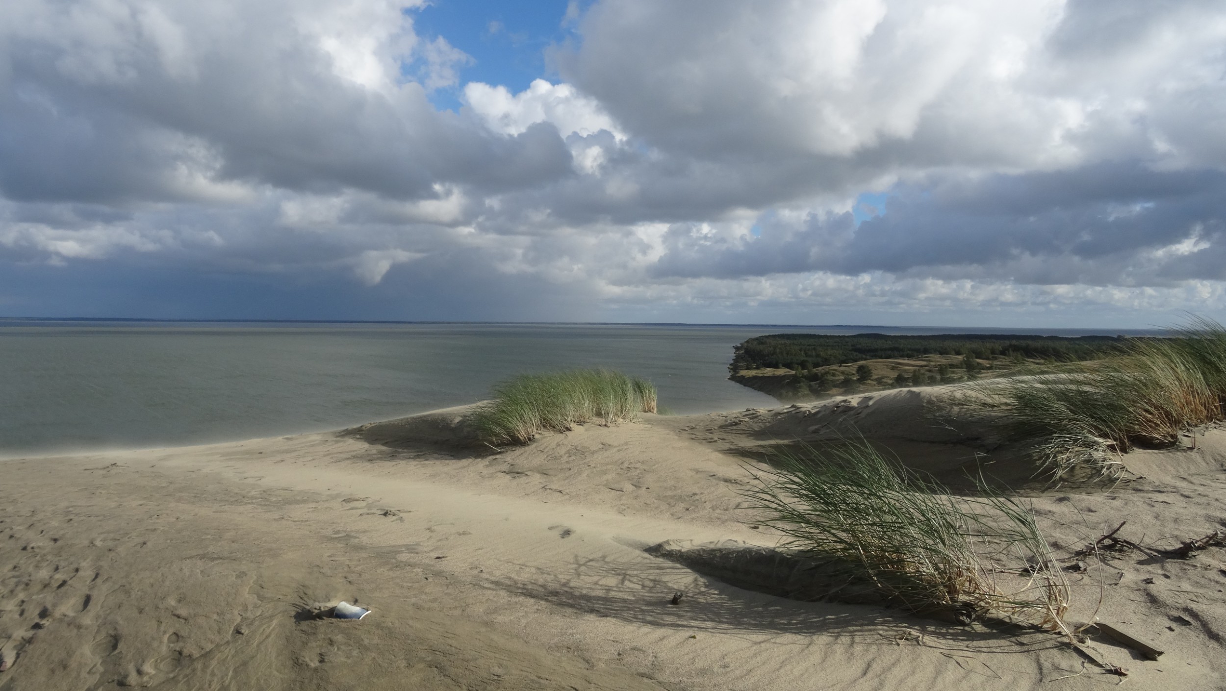
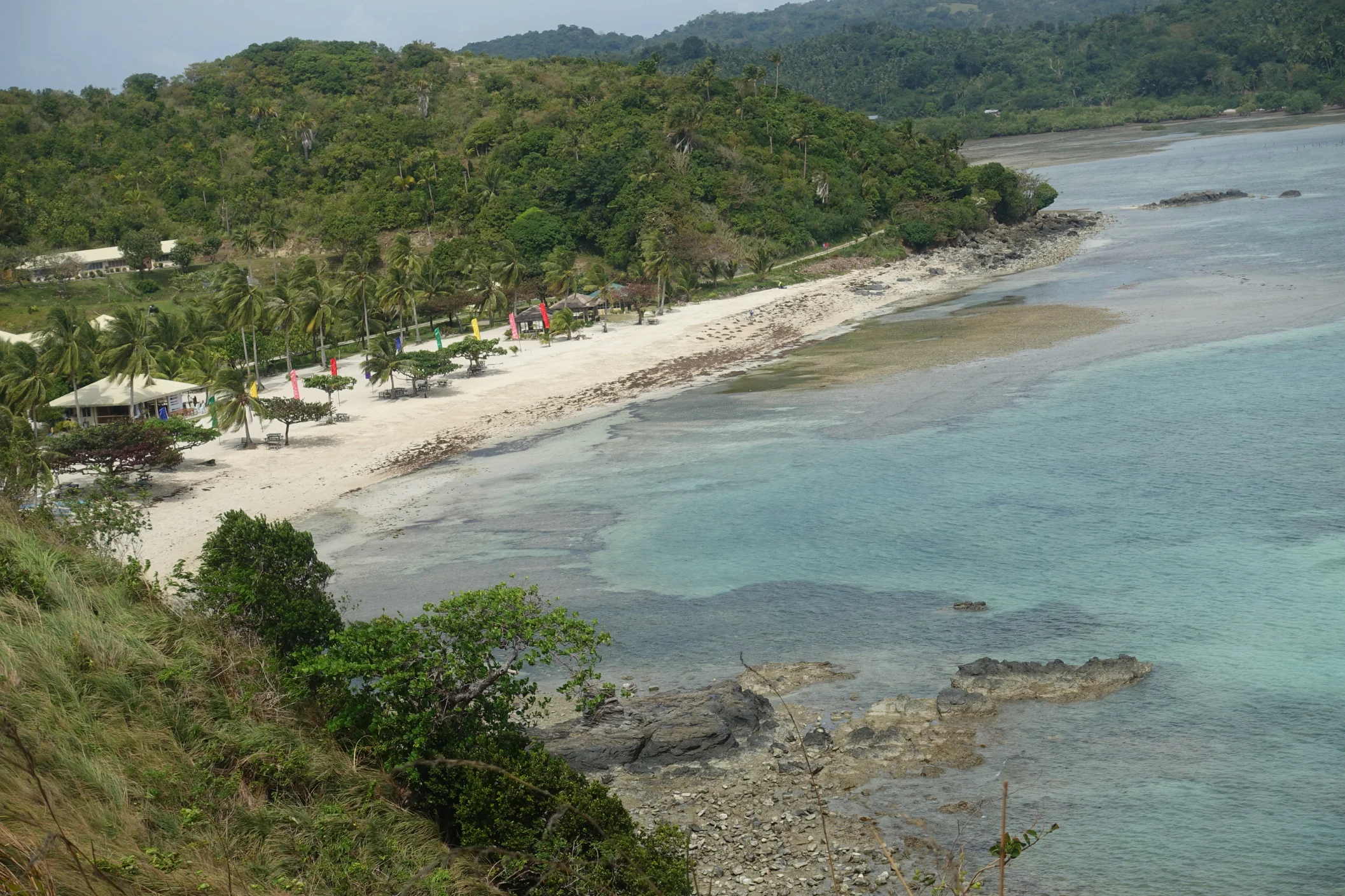
The three islands in the Romblon group are small but we had chosen to spend the next five days in the area because we can catch a ferry from Odiongan to Batangas, near Manila, from which we fly to New Zealand on 5th February. It felt a bit like ‘killing time’ as today was another ‘rest’ day. Apart from eating, reading and relaxing, we took a short walk to the next bay. The first photo below is of Aglicay Beach, our own little piece of paradise, and the 2nd is of the Tablas Island coast.

Around midday van loads of tourists arrived for a buffet lunch, and some locals arrived on motorbikes to swim, but by late afternoon we were alone again. We had been amazed at the amount of work that is done here on a daily basis as each high tide recedes, leaving a tide mark of rubbish, mostly small plastics that are swept into piles and then dumped behind the resort. We resolve to try to eliminate our own household waste, especially plastic, when we return home.
Day 3: Ride Aglicay Resort to San Agustin (ferry to Romblon Island) Ride Romblon Town to Talipasak Beach
59.1km, 621m ascent
Our day needed to start early as the last ferry left at 1 p.m. but we didn’t want to put our hosts to too much trouble with a super early start, so ordered breakfast for 7:30 a.m. We’d packed already so it was good to receive breakfast on time and have the bikes rolling out the gate at 8. We were feeling rested and the couple of climbs back to the main road weren’t too difficult. Then began a slog into a headwind, up and over a headland, then repeat. We kept moving, apart from a short stop at 24 km, that happened to be our halfway mark, to get our butts out of the saddle and stand in the shade for a while.
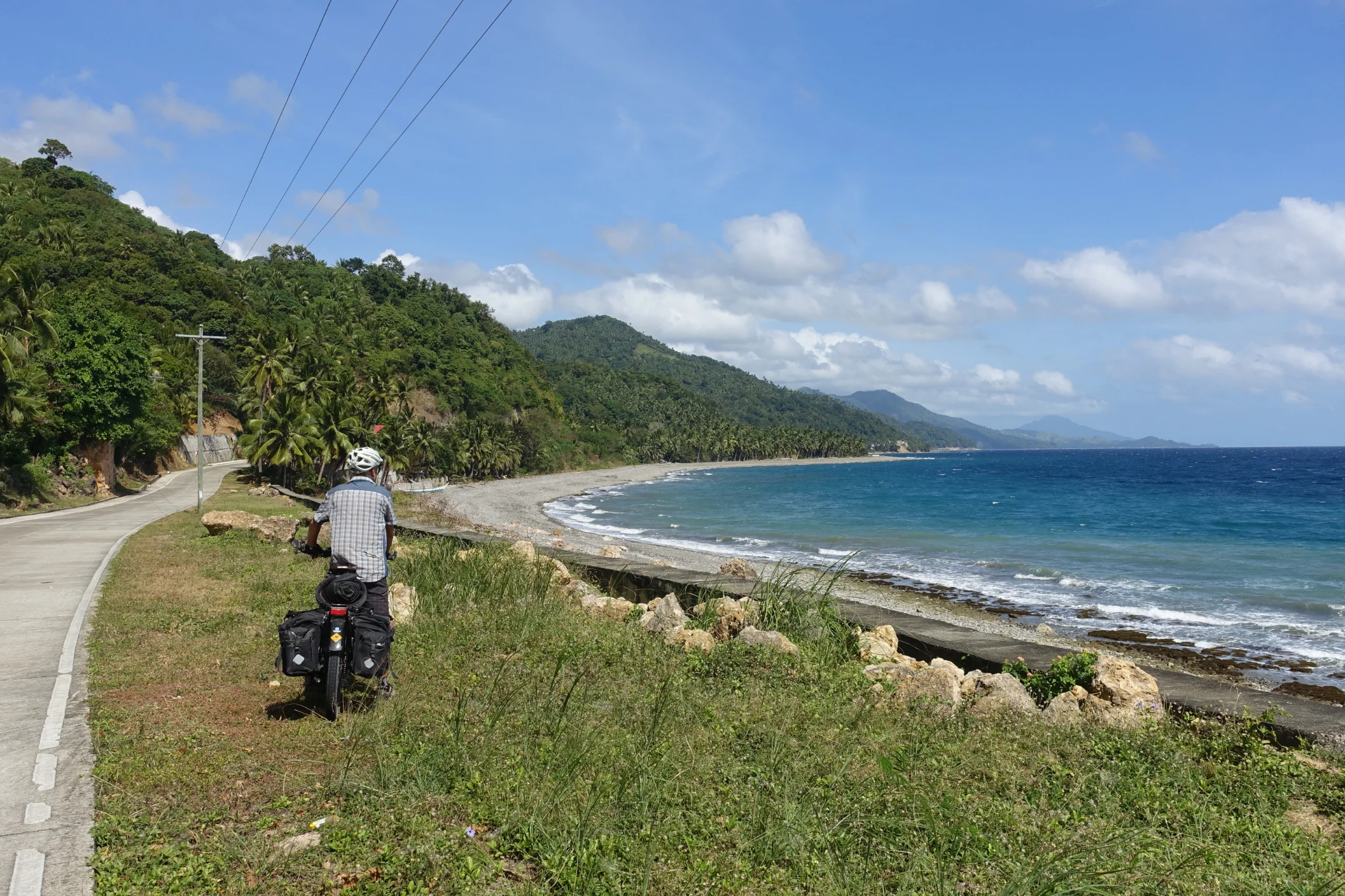
Another long coast road; this one on Tablas Island
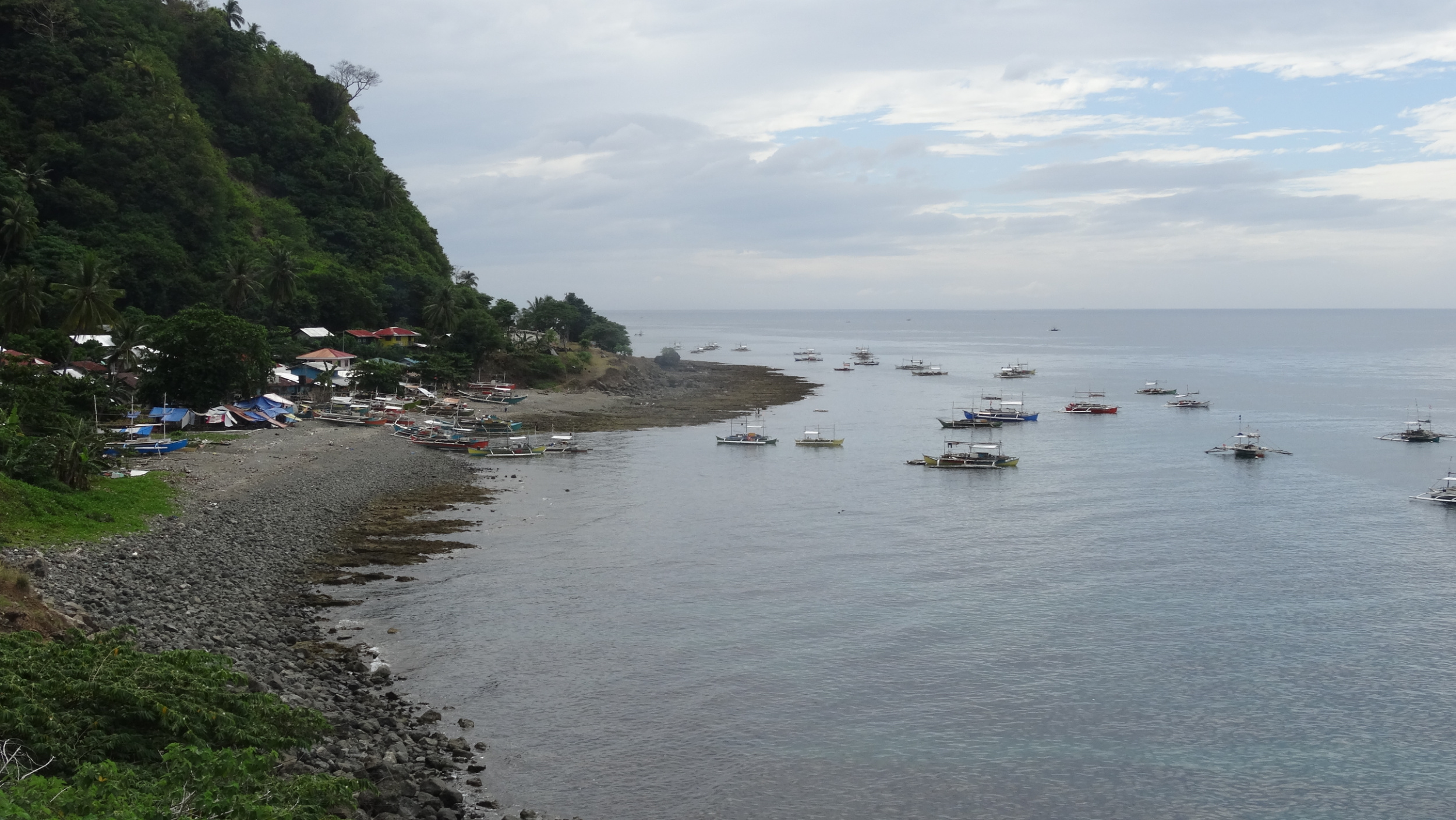
We pulled into San Agustin Port and our bikes were whisked out from under us by enthusiastic porters. We purchased a ferry terminal ticket and will pay for the boat when on board. Even though we had enough time for lunch we couldn’t find anything to whet our appetite. This was often the case for us as a result of combined heat and weariness. Two boys had ordered a slice of chocolate cake coated in coconut. It looked tasty and we followed their lead, adding a normal plain bun each for a healthy option. The boat was a narrow wooden vessel that looked like it had been in service for many years. We each don a life jacket as the Coast Guard will not allow departure until this requirement is checked. As soon as we began moving, all life jackets were removed and hung again on the backs of the bench seats for cushioning comfort. The boat cut through the gentle swell and the one hour crossing was pleasant enough. As soon as we’d docked, a number of Porters stormed the boat trying to be the first to help with a suitcase or in this case, one motorcycle and two bicycles. There was no point taking ownership until both bikes were on land and just one person had their hand out for the carrying fee.

Unloading, and we are trying to keep an eye on who should be paid for the work!
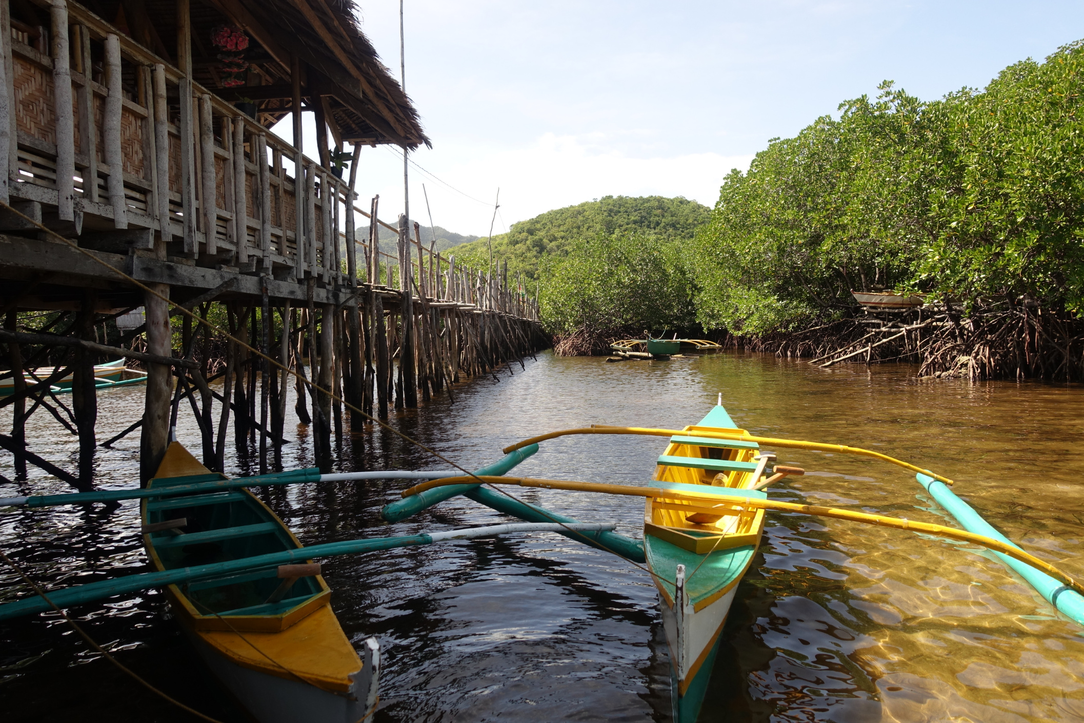
Romblon Island
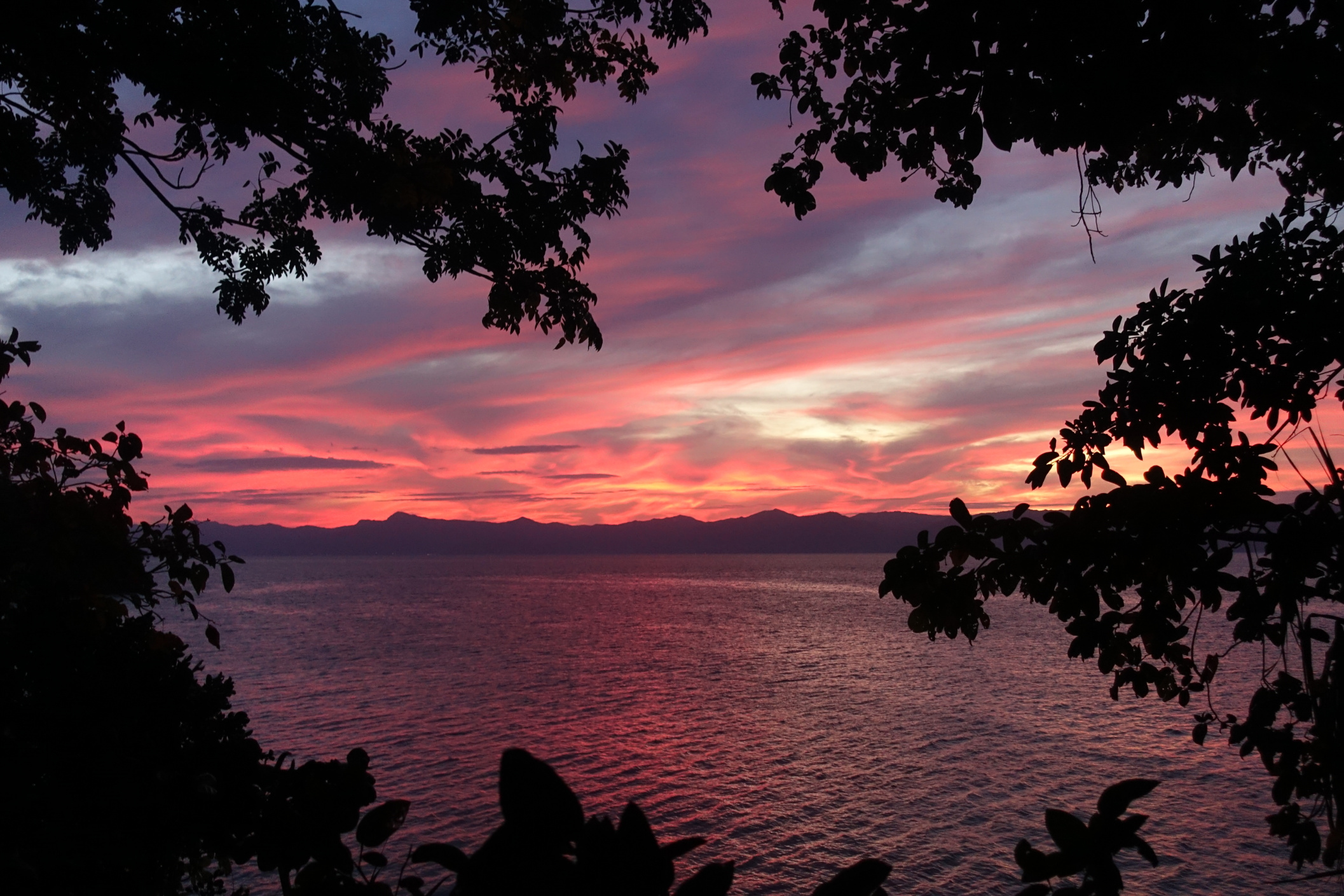
Romblon Town looked interesting but we’d be back tomorrow, so we headed south, with the ocean on our right, riding passed some pretty beaches to arrive at the end of a narrow peninsula, at the very private white-sand Talipasak Beach, and a Nipa Hut overlooking the sea at San Pedro’s Beach Resort. The sun set over Tablas Island in the distance and the long coastline that we rode this morning was soon swallowed between the dark ocean and sky.
Day 3: Circuit of Romblon Island 43.3km, 587m ascent
My estimate of 42km turned out to be pretty close to the mark. First we had a steep climb from sea level to the high point of the headland, and then down to the main road. Riding south I found the sharp climbs along the east coast quite challenging. At least Romblon was a small island so I could focus on this not being a long day of riding.

Romblon Island; picture perfect!
The coast was very pretty with a number of white sand beaches and turquoise waters along which an occasional fishing boat, long and narrow, with noisy motor and the fisherman standing as if riding a stand-up paddle-board, wizzed by. We saw small quantities of little fish displayed in full sun, on narrow tables at the roadside, and wondered how long such a perishable food would sit out like that, and if the entire catch would be sold.
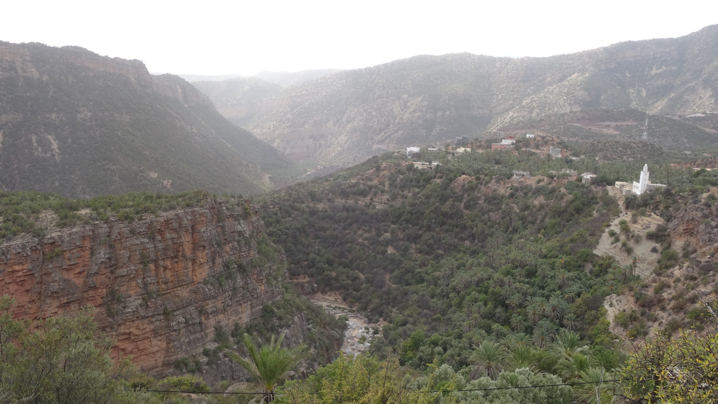
The main road back north cut through the centre of Romblon and took us up the edge of a broad valley cloaked in coconut trees and jungle.


Large piles of coconut meat were being tipped from bags and laid out to dry at the side of the road. We passed a marble quarry and the zinging of circular saws, and tapping of chisels as craftsman cut and shaped the stone, filled the valley. Many nipa huts were covered in white dust as if it had snowed.
There was very little traffic on the island, mostly motor tricycles that stopped often to pick up and drop off passengers. There were sections of road works, with roads being widened, or restored, where a lane had become narrow because the outside edge had broken, or where a landslide had blocked part of the inside lane. We climbed long and steady until eventually we dropped passed another marble quarry, down into Romblon Town. A cruise ship had anchored offshore but we didn’t notice any increase in the numbers of people in town. It was 2:00 p.m. by the time we sought out some lunch and the restaurants were quiet. Maybe the cruise passengers had already returned to the ship.
Day 4: Talipasak Beach loop, 24km
The purpose of our ride was to explore Romblon Town, that was a trading post during the Spanish period but first we stop at picturesque Bonbon Beach, riding out as far as we could in the soft sand to where two white-sand beaches met, forming a sandbar.


Romblon is one of the most intack old Filipino-Spanish towns in the country. There are many tradional houses and a coral-bricked cathedral. The restored Spanish Fort San Andres, looks over the town and harbour. We climbed the many stairs and were just in time to be met by a man who who proudly opens the gates to tourists. He took part in the renovation and was happy for us to climb over the balastrades for a view of the town.

Romblon Town from the 17th Century San Andres Fort
Romblon is a quiet quaint town with few tourists even though it offers scuba diving at marine sanctuaries and access to other pristine islands nearby. The short time we had on Romblon Island was our favourite time in the Philippines.
Day 5: Talipasak Beach (Romblon Island) to Calunacon (Tablas Island)
We rode into town early as we wanted to catch the 8 o’clock ferry. The large boat was already docked. We paid for the ferry and then found that it leaves at 12:30, not the time we’d expected. We were told that If we wanted to leave at 8 we need to go to the local terminal and catch the Bangka, so we apologised, collected our money and went there. As soon as we pulled into the kerb a porter offered his service and we happily passed over the bikes. At the time of boarding we walked a narrow plank, with an unsteady handrail. I noticed the bamboo rail was not even fixed, it was just held by one man at each end! The bikes were tied to a pole on the roof. We were seated and don the life jackets, just to copy everyone else and remove them when the vessel was underway.

Many different boat styles make travel interesting. The man in the yellow T-shirt is one end of the hand-rail!
Tablas Island
It was drizzling as we docked at San Agustin and the sky was dark, threatening more rain. By the time our bikes were rolling and heading in a northerly direction we had dodged a drenching from rain, and instead slick-wet with sweat as we climbed for seven kilometres and then dropped, to cross Tablas to the west coast.

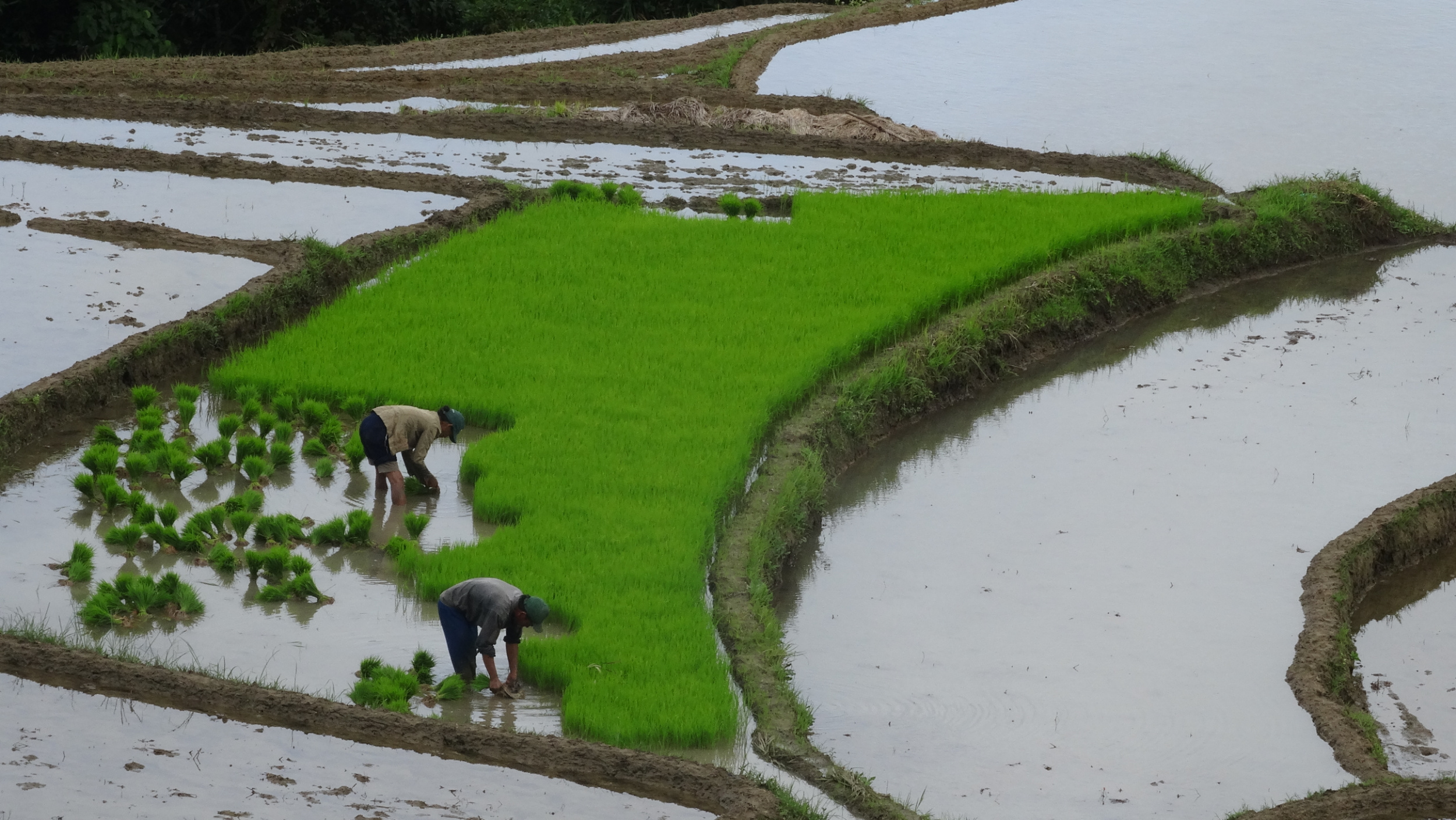
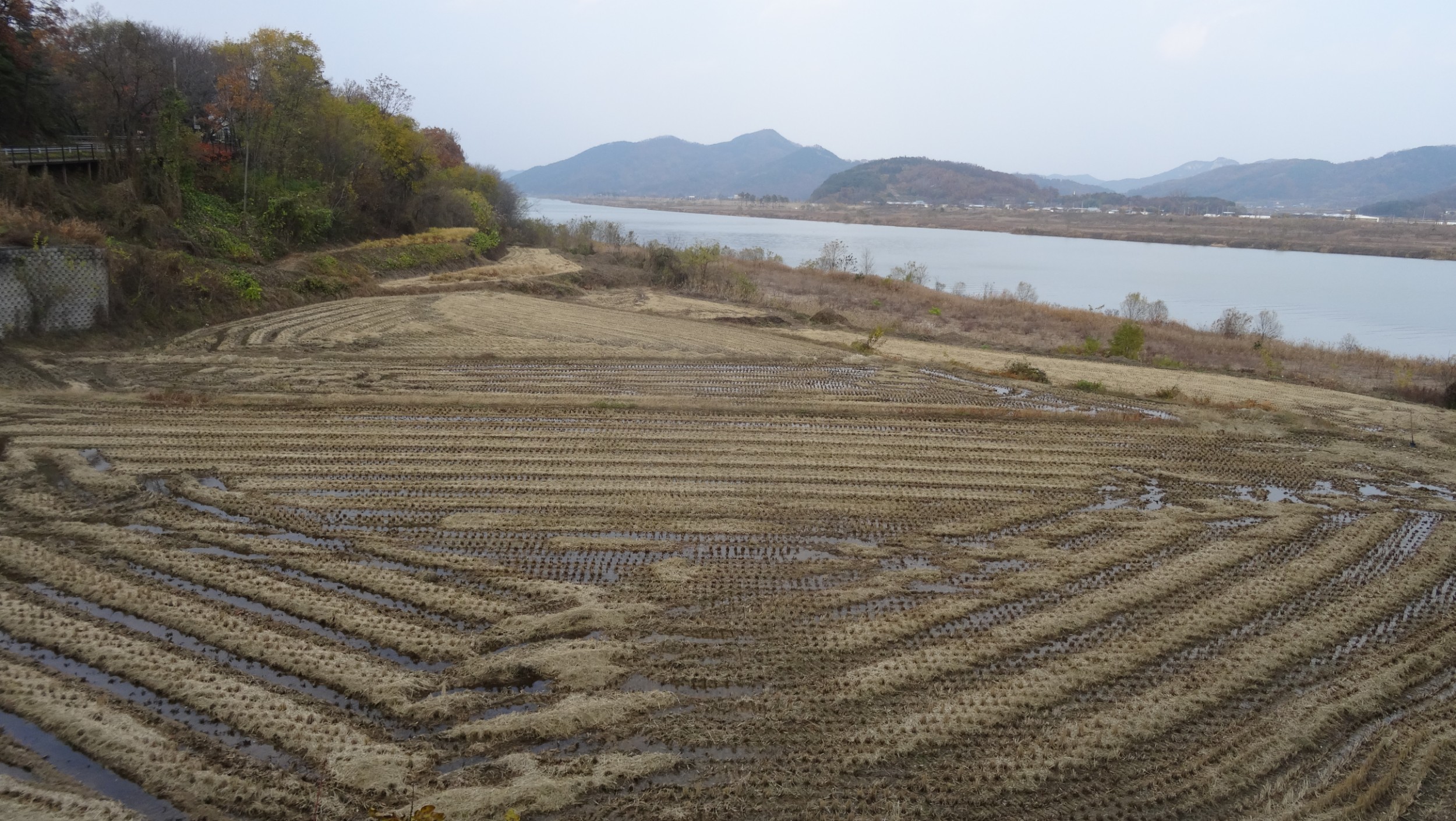
A typical Filipino Island scene; rice and jungle
Once at the coast the road leveled and we cruised along at a good pace, enjoying the flat terrain and windless day. It hadn’t been easy finding accommodation only a couple of hours from Odiongan but eventually, using Agoda, we found Footprints Beach Resort, at Calunacon, a few kilometres before San Andres. We had an afternoon of swimming and relaxing, and our last night on Tablas Island was delightful as we chatted with our hosts and another guest and settled into our comfortable room at the three year old resort.


Day 6: Calunacon to Odiongan, 27.4km 85m Ascent
“Be at the port four hours before the departure time” was the last detail we were given as the lady handed us the tickets, days ago in Caticlan. The fine print on the second page also mentioned this. Hmmm! Locals assured us the early requirement wasn’t necessary so we relaxed over breakfast, had some photos taken with our friendly hosts and left Footprints, expecting to have one hour to wait when we reached the port.
This was our last day cycling in the Philippines and our last day in a rural area. The route was mostly flat on a smooth surface. I relaxed and let my senses obsorb the vibrancy of the rice paddies and green bunches of bananas bending from the centre of the trees. Coconut palms stood like sentinels dividing the fields from the jungle clad hills. My gaze constantly flicked back to the roadside, always looking out for dogs, chickens, children, motorcyclists, that may at any time, appear as obstacles on the road.
We arrived at the port at 9:30 a.m. to be told the ferry would depart at 1200, and yes, there was plenty of time to go the two kilometres to Odiongan, get some lunch, and return. Later, back at the passenger terminal, we waited until 1300 for the 2GO ferry. This time porters lugged our bikes up to the deck bunk room. We however, had tourist class for this journey, on a lower level. Tourist Class was an enclosed room, so no views. Like deck class there was no seating. Travel comfort was achieved by lying on the bunk identified by the number that matched our tickets. Even though the rows of bunks were close together, in this more superior class, rigid panels between bunks gave privacy and blankets were provided. We set sail while information was being broadcast over the communication system; details about evacuation procedures, the knots per hour that we would travel that should still deliver us to Batangas at our initial expected time of arrival, and then a prayer asking for the voyage to be blessed. Then followed a very long afternoon!

A 2Go ferry, that we used on a couple of longer distance transfers between islands.
Now on the island of Luzon, our next section of travel was by bus from Batangas to Manila. In Manilla we were dumped unceremoniously at the side of the road on a bridge that crossed a river that was black with pollution. The footpath that our bags sat upon was slushy with grey filth. We packed up and decided not to contend with the traffic for the short distance to our accommodation. Nev later noticed the photo below, snapped by someone out of their vehicle window, on a Philippines Cycling Facebook page.

We left the Philippines, the day following the death of a 20 people and injury to 102 by an attack at a Roman Catholic Cathedral on Mindinao Island. Mindinao has a long history of conflict as muslim insurgents want to re-establish the Islamic state on that island. Even though Mindinao is a long way from Manila it was a sad note on which to finish our travels.
We were subject to delays at the airport as security had been increased and every bag, both check in and carry on, had to be opened and swabbed with a bomb detecting wand. We had taken ages to back the bikes in boxes only to have the boxes opened for swabbing. Both the gladwrap and duck tape we carried was consficated at the airport at check-in as we might have used it to hold an abducted person securely while in flight.